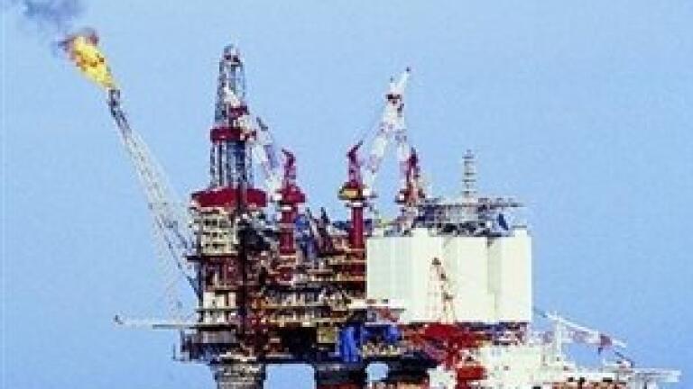
The
oil industry's impact on coastal areas - due to incidents such as the recent leak in the Gulf of Mexico - can be assessed using synthetic aperture
radar (SAR) and other environmental factors, according to the French Research Institute for Exploitation of the Sea.
Dr Bertrand Chapron explains that the Sentinel-1 SAR instrument, due to launch in 2012 and be followed by a second satellite in 2014, is to have the capability to detect both high-resolution images of sea surface roughness and surface flow of oil slicks.
This allows estimates to be made of how slicks will shift over time - and whether they will move towards any ocean currents that might carry them towards the shore - providing more certainty to the
oil industry on how to respond to leaks.
Image analysts have been using a similar approach to try and determine whether there is any risk of the current oil slick catching the Gulf Stream and being carried up the east coast of the US.
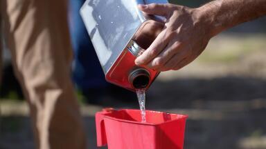
BP, which owns a majority stake in the leaking oil well in the Gulf of Mexico, revealed this week that a containment dome was being shipped to the area to be lowered on to the sea bed over the leaking pipes.