Measurement and testing
Published over 12 years ago. See the latest and most current information on Measurement and testing.
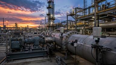
Scientists have launched unmanned flying drones in a bid to identify ways of recovering more oil reserves from the North Sea.
It is hoped that, by studying geology from the sky, academics at the University of Aberdeen will be able to scan rock formations and improve their understanding of subsurface reservoirs.
The study has been backed by 20 oil firms and is being carried out in collaboration with a group at the University of Bergen in Norway, who are seeking to push the boundaries of geographical mapping.
In many areas, data is still being collected using conventional photographs and hand-written notes, but the development of laser scanning systems - many of which use helicopter gyroscopic guidance technology borrowed from cruise missiles - is revolutionising mapping by allowing very large quantities of accurate data to be collected quickly and efficiently.
Professor John Howell, a Geoscientist at the University of Aberdeen, explained that when a well is drilled in the North Sea, it is possible to directly measure the rocks in the borehole, but there is much less certainty about what is going on away from the well.
As two wells are often several miles apart, predicting what the rock layers in between the boreholes look like has presented a "huge challenge", he added.
"To solve this problem we look at similar rock units which occur in cliffs above sea level and we use the drone to make extremely detailed 3D models, which we can then adapt for the subsurface.
"This gives us a much better idea of what conditions are like between these two boreholes and then allows us to predict how the oil will follow and how much we can recover."
The advantage of the drone is that it allows the team to collect large volumes of data from otherwise inaccessible cliff sections in remote and often dangerous places, Professor Howell explained.
Using these methods, the project’s overall goal is to develop a fully searchable database of relevant rock formations, which will in turn help oil companies build better models of the subsurface and improve recovery from oilfields.
PIN 27.3 June/July 2026